* Please turn to enable of CSS.

|
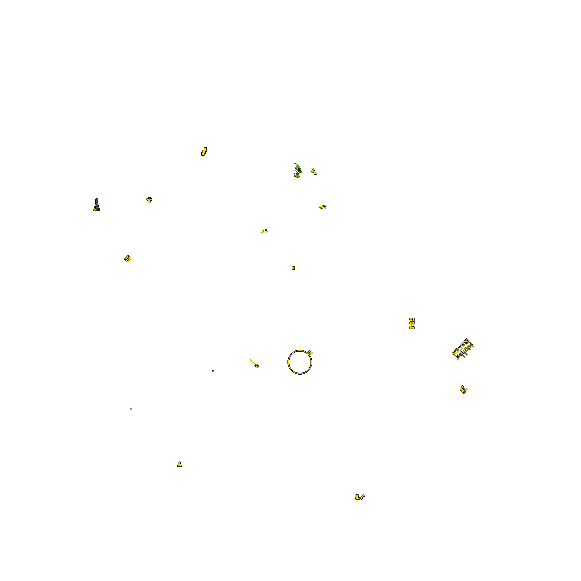
Map地图 |
|
|
|---|---|---|---|
| Location坐标 |
| № | Loc | swap | del |
|---|


.jpg)
.png)
.png)
.png)

| Legacy format |
(Lat: -123,456.789 Long: -123,456.789 Alt: -123,456.7) (Lat: -123.456,789 Long: -123,456,789 Alt: -123.456,7) (Lat: -123 456,789 Long: -123,456,789 Alt: -123 456,7) |
| Evrima format |
-123,456.789, -123,456.789, -123,456.7 -123.456,789, -123.456,789, -123.456,7 -123 456,789, -123 456,789, -123 456,7 |
|
-123,-456 -123, -456 -123 -456 -123.-456 -123aaaaaaaaaaaa-456 -123-456 |
123,456 123, 456 123 456 123.456 123aaa456 123456 |
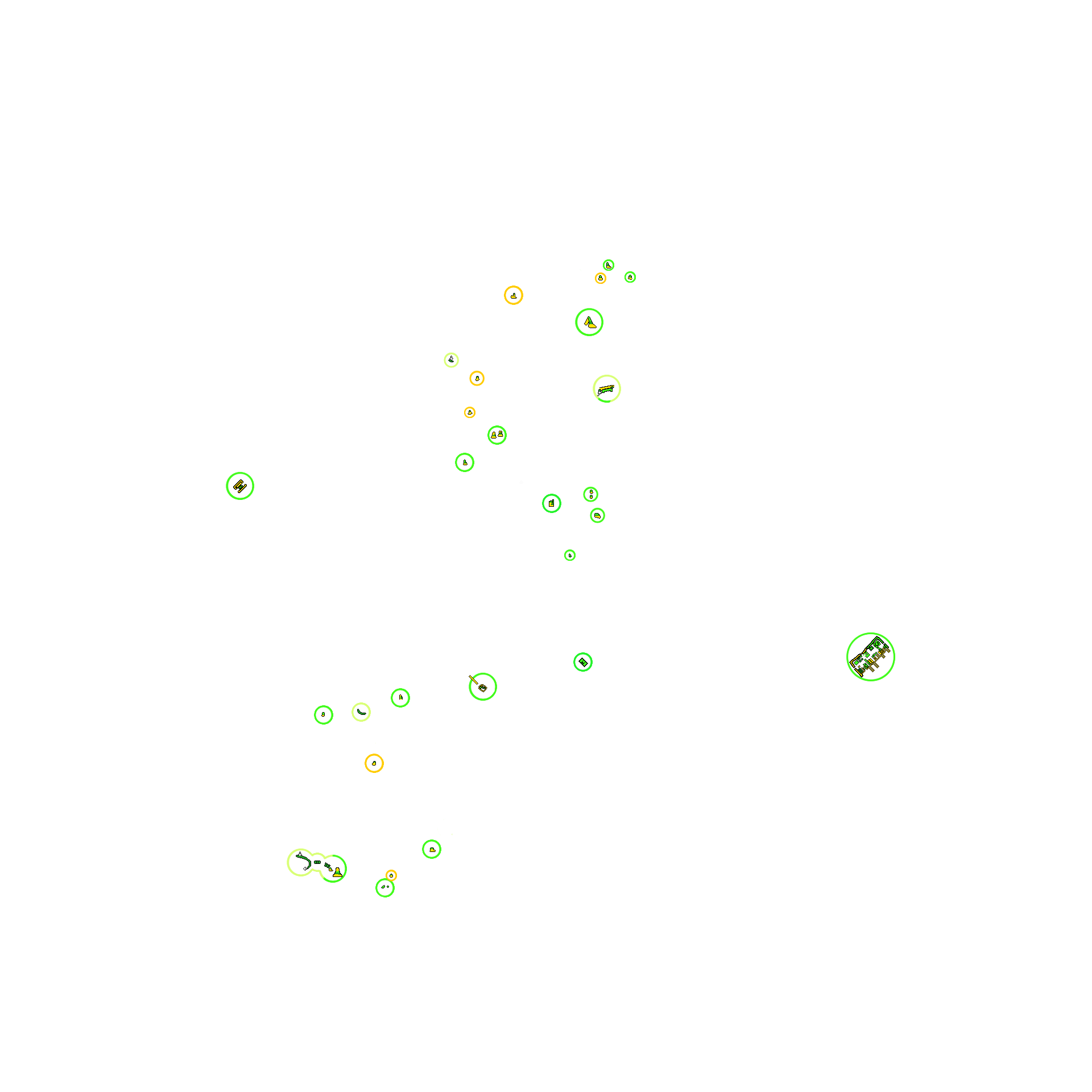
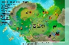 Isla Spiro #4-2
 Isla Spiro #4
 Isla Spiro #3
 Isla V3
| Green |
Safety assured. It's the best place for a nap. Part of the rock is very very safe. While you are there, threats can't any other than walk around and make noise. * Pachy/Galli/Dryo can ride on some rocks. (e.g. raptor rock) * All of on V3 had confirmed whether Utah can escape attack of full-adult Giga. Thenyaw haven't yet. |
| light Green |
Almost Safety. I think it is also good. Everyone can enter, but no-jump species will be afraid and hesitation. If they do, break leg, can't go back, no choice but to fall off the cliff. |
| Yellow |
A bit small. Don't forget to watch out. Should be afraid of Large-sized dino's wide attack range. They might be able to kill you from outside. |
| Red |
Dangerous. Only stupid use it. 1) Too small. You will be attacked from not only Large-sized but also Medius-sized. 2) Meaningless for who knows how to climb. Bigger can climb without jump. |
● Latest
① Normal: connect by number
➊ Fixed: connect to latest
* click ①/➊ to toggle
When history amount exceeds 20,
oldest will be deleted